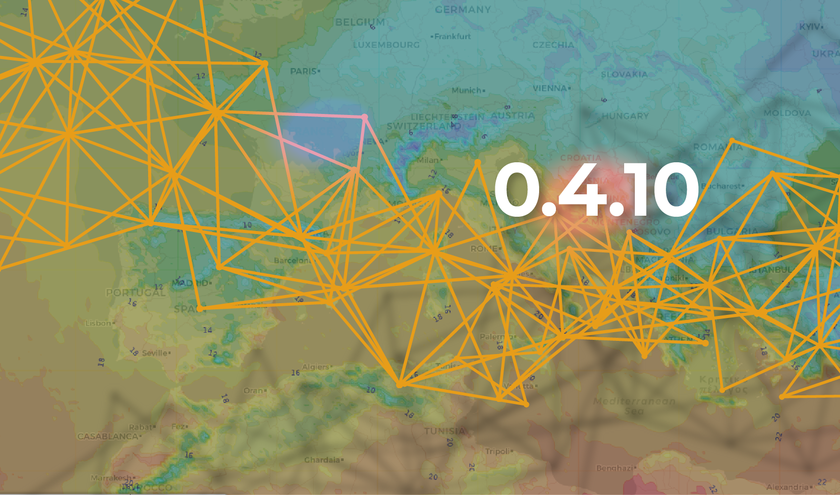
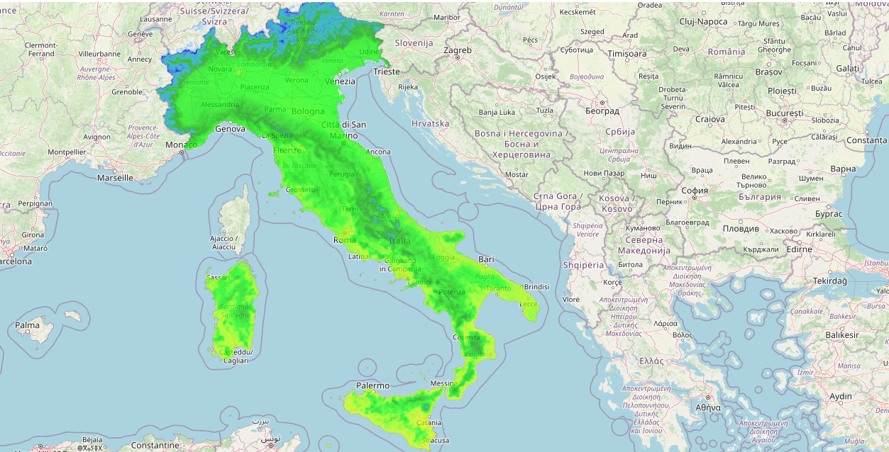
Two new fields cloud (total cloud cover) and cloud_hml (cloud cover on various levels) have been added to the maps and WRF model dataset.
In meteorology, cloud levels refer to the altitude at which clouds are in the atmosphere, and are terms used to classify clouds according to their relative altitude above the ground.
Cloud_ hml field levels are identified as high, middle and high.
Low-level clouds are generally located at or below 6,500 feet above the ground, middle-level clouds are generally located between 6,500 feet and 15,000 feet above the ground, and high-level clouds are generally located more than 15,000 feet above the ground.
The sum of these three levels constitutes the total cloudiness, expressed by the cloud field.
The new cloud fields for the WRF model offer detailed cloudiness forecasts improving the overall accuracy.
What's new
A few general changes have also been made.
- As far as the data extraction system is concerned, the reftime has been shortened: previously three days, it has been reduced to one day.
- A malfunction in the 'by time range' selection has also been resolved.
- A restyling in the visualisation of the observed data, available on Ground Stations, was implemented.
- Finally, the integration of the Arpasimc support libraries has been optimised.


 The MISTRAL project activites have been performed thanks to the INEA/CEF contribution under the grant agreement number: INEA/CEF/ICT/A2017/1567101 – Action No: 2017 IT IA-0144